Shift in weather pattern to cooler temps and showers

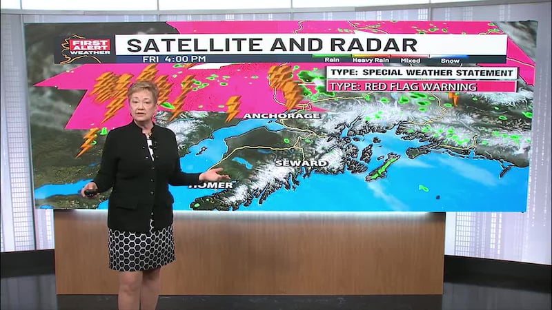
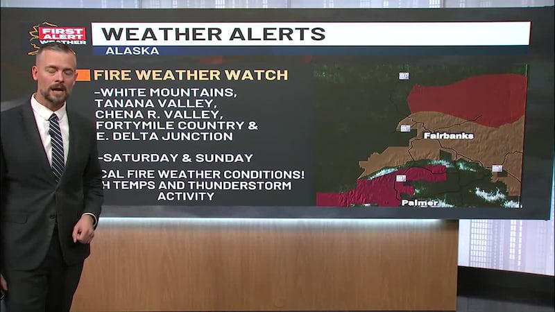
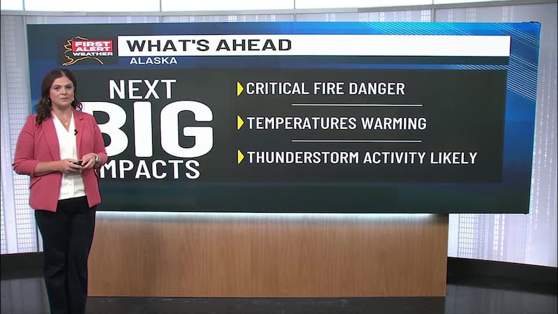
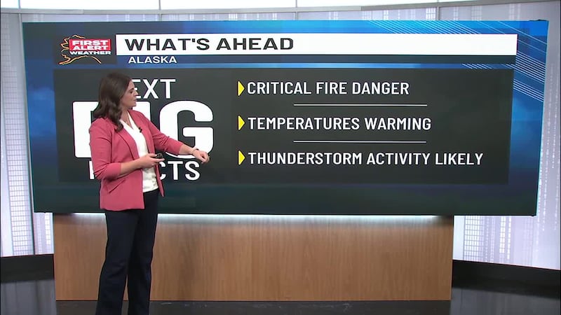
ANCHORAGE, Alaska (KTUU) - A Red Flag warning remains in effect until 10 p.m. Sunday for the Interior and Copper River Basin for hot and dry conditions. Additionally, a Fire Watch for smoke and haze is in effect for areas in the Interior north of Fairbanks.
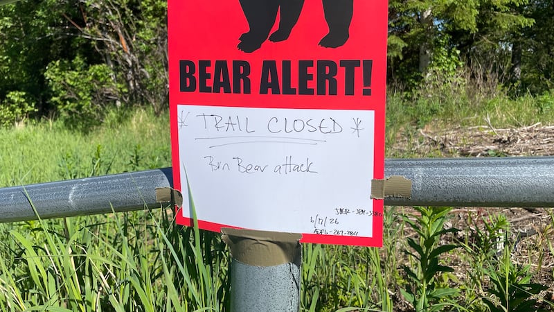
Temperatures soared into the 80s today adding to the already vulnerable threat to wildfires. Hiking trails at the White Mountains Recreation area north of Fairbanks were evacuated today due to the approaching Lost Horse Creek fire.
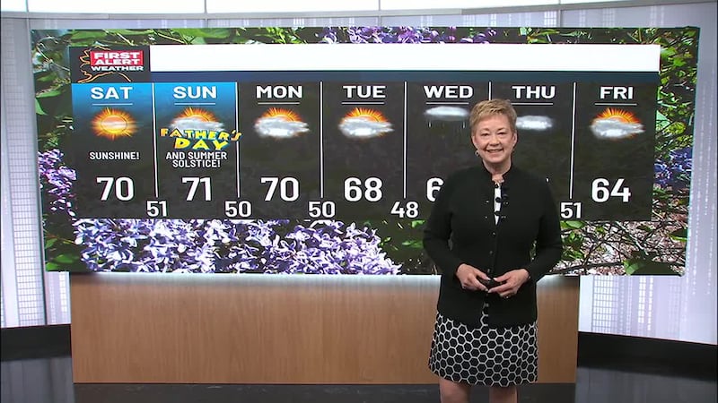
In the meantime, it was nice while it lasted but all good things must come to an end. The High Pressure that was stubbornly dominating most of the state is now retreating back to where it came from — the Yukon. As it moves back, it will be replaced with several lows including one moving up in the North Gulf that will impact the Southcentral Region. Scattered showers are expected to replace the sunshine, and temperatures in the 70s are expected to fall back into the mid to lower 60s.
Not to be left out, the western part of Alaska from Nome south to Bethel will also start to see rain and windy weather from a Bering Sea low approaching. A high surf advisory remains in effect until 10 p.m. Sunday.
Copyright 2023 KTUU. All rights reserved.