Active storms bring changes to the workweek
ANCHORAGE, Alaska (KTUU) - It was nice while it lasted, but the calm and quiet weather pattern over the weekend for most of Alaska will become active again as we begin the workweek.
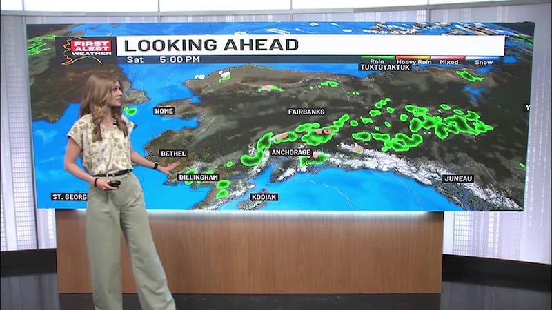
While parts of Southcentral Alaska — including Anchorage and the Mat-Su — will continue to see another day or two of mostly cloudy skies and seasonable temperatures, that will change by Wednesday as snow will move back in.
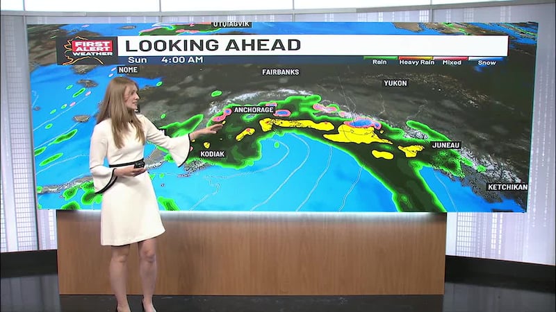
The Panhandle in Southeast Alaska will see the most active weather as yet another big storm is moving up the North Pacific and it will be taking aim on the region, with heavy periods of rain from Juneau southward. Skagway, Haines, White Pass, and the Klondike highway will be under a winter storm warning from noon Monday until noon on Tuesday. Heavy snow (up to a foot) is expected and it will likely fall at a rate of about one inch per hour.
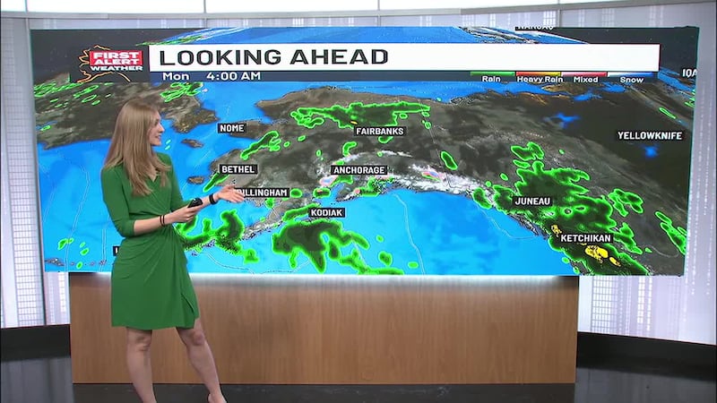
If that’s not enough, another storm coming from Siberia will take aim on the west coast of Alaska beginning Tuesday as well. Blizzard-like conditions with heavy snow squalls and gusty winds as high as 50 mph are expected along the coast from Shishmaref to Unalakleet and inland to Mountain Village. Gambell and Savoonga will also be impacted.
The highest temperature in Alaska on Sunday was Sitka, which peaked at 49 degrees. The overnight low was found in Tanana, which fell to 21 degrees below zero!
Copyright 2023 KTUU. All rights reserved.