Heavy snowfall on its way to Southcentral as dangerous wind chills continue
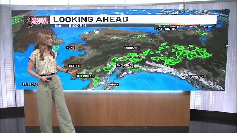
ANCHORAGE, Alaska (KTUU) - As the threat of wind chills to 65 below zero continue from Bethel to Bristol Bay, Southcentral Alaska is bracing for heavy snowfall.
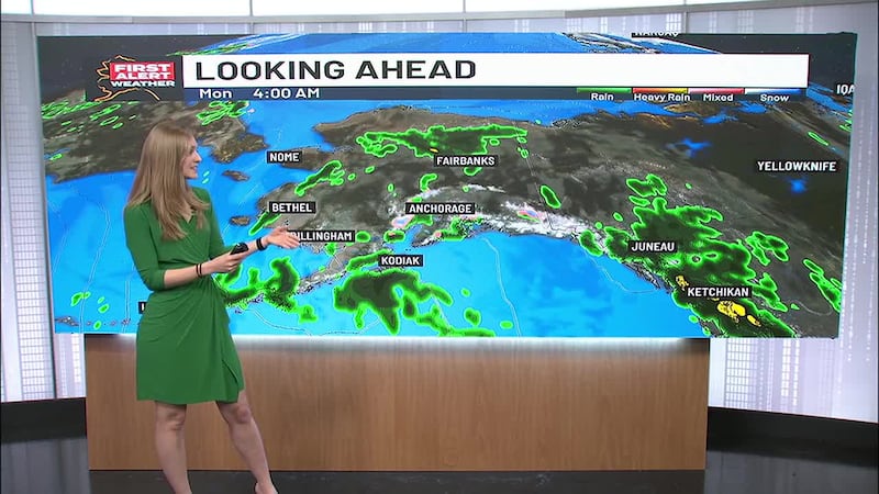
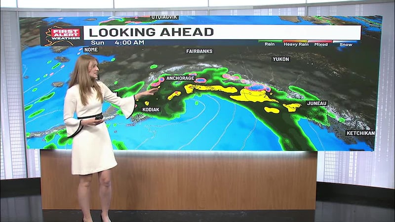
Stormy weather is moving up the gulf towards Prince William Sound Sunday night into Monday morning and could dump upwards of two feet of snow over the Copper River Basin. The eastern Kenai Peninsula along Turnagain Pass could see more than a foot of snow with as precipitation stretches from Seward to Girdwood, with lighter amounts expected in Anchorage on Monday. By Tuesday, Thompson Pass could see as much as 45 inches of snow.
Snow will warm temperatures a little and will return to sub-zero overnight and remain in the single digits for Anchorage’s daytime highs.
Heavy rain will be seen in the Southeast along with gusty southeast winds to 65 mph as a warm front pushes through Sunday. This will send the temperatures soaring into the mid 40s and lower 50s there.
Copyright 2024 KTUU. All rights reserved.