Temperatures warming across Alaska this week
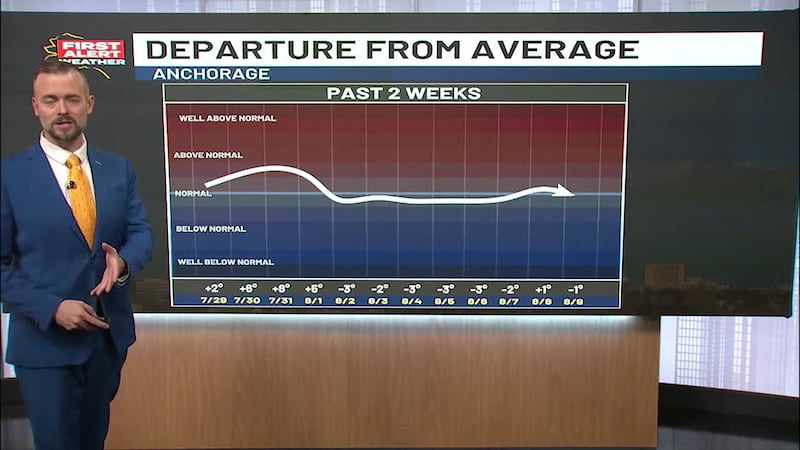
ANCHORAGE, AK (Alaska’s News Source) - It’s been a cooler and wetter than normal start to June across Southcentral, but that changes after today when heat, already in place across the Interior, moves south.
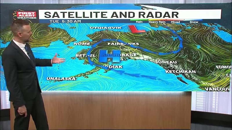
A quick-moving area of low pressure in the northern Pacific will bring clouds, a quick band of rain, and cooler temperatures to Southcentral on Tuesday. The storm will move through quickly with a return to drier weather by the end of the day. High temperatures will hold in the upper 50s and low 60s across much of the region.
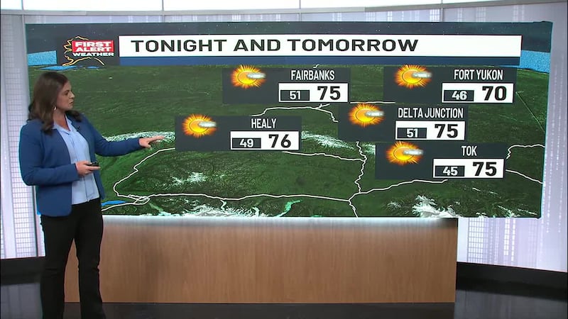
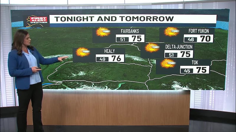
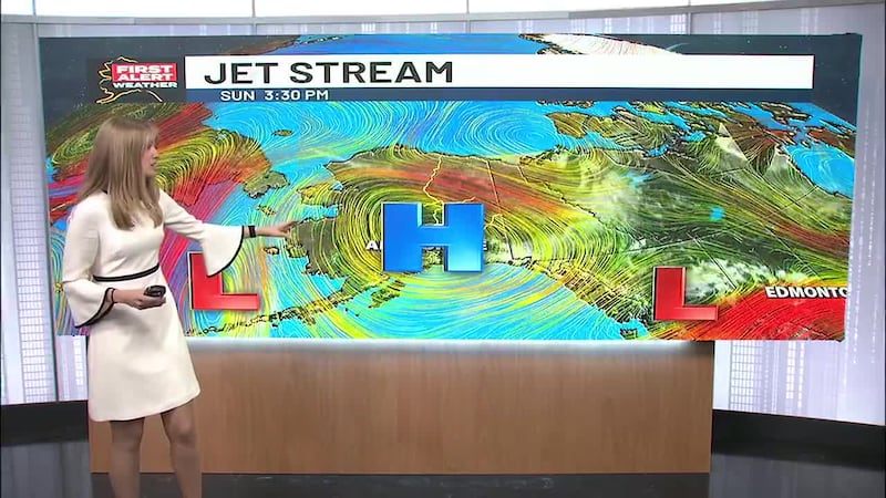
Further north, high pressure is in full force, and that means near record heat across the Interior. High temperatures will climb to the upper 80s and low 90s for the Interior, including Fairbanks, on Tuesday. A Heat Advisory, along with Red Flag Warnings, is in effect because of the hot and dry conditions.
The heat is also contributing to historic flooding from the Brooks Range to the Arctic coast, where high water and erosion are a concern from rapid snowmelt. If you live in this area, please pay close attention to the water levels.
Keep track of the latest weather alerts for your area with the free Alaska’s News Source Weather App.
Juneau is in store for another mostly sunny day, although you can expect increasing clouds this afternoon with a few showers on Wednesday. Drier and warmer weather is likely for the end of the week across the Southeast, with high temperatures returning to the upper 60s and low 70s by this weekend.
Send us your weather photos and videos here!
The Summer Solstice is just three days away! On Friday, we will experience the longest day of the year. And just in time to kick off summer, temperatures will return to the upper 60s and low 70s across Southcentral as high pressure moves over the region starting Wednesday and continuing through the end of the week.
Copyright 2025 Alaska's News Source. All rights reserved.