Brace for high winds and another round of wet weather as next storm approaches
An unseasonably strong storm is moving in from the west this weekend, making landfall as early as tonight
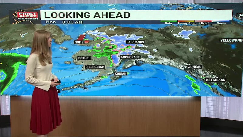
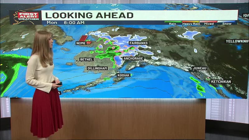
ANCHORAGE, AK (Alaska’s News Source) - It’s not spring without a few April showers and this week has been truly representative of the testament. As we head into the weekend, the first storm has already started bringing moderate to heavy rain to the Southeast, but the second storm remains in the Bering Sea, first impacting the Aleutians before reaching Western Alaska.
Currently, the first of the aforementioned storms has rolled into the Southeast. The region will receive plentiful rainfall with over 0.75 inches of rain expected across Juneau today, with similar amounts likely in Sitka. The rest of the region will see more scattered showers, especially in Ketchikan and Petersburg. This rain will stick around all day and carry through tonight and the weekend.
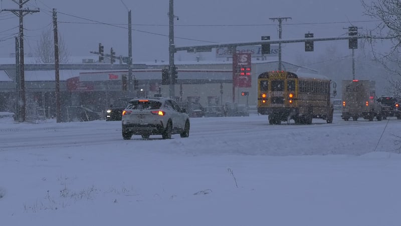
In Southcentral, scattered showers, including a wintry mix, have been the forecast nearly every day this week, and today is no exception. These light showers may include some snow through the morning hours, but by the afternoon, rain will be the primary precipitation type. The Copper River Basin will get the bulk of this rain today, with roughly an inch of rain anticipated in Whittier. Saturday will be the intermission period between storms and rainfall before wet conditions return on Sunday.
Download the free Alaska’s News Source Weather App.
Interior Alaska is another region where repetitive forecasts have played a role in each passing day. Scattered showers, including snow and rain, will pass through areas in the Western Interior regions such as Galena, McGrath, and Unalakleet. Fairbanks will likely see some light rain/snow by the evening hours before the storm from the west brings heavier rounds of the wintry mix by Saturday night into Sunday. A Winter Weather Advisory remains along the Eastern Alaska Range until Saturday afternoon as snow could collect from six to 12 inches in higher elevations. The North Slope can expect mostly cloudy skies with temperatures near zero degrees. Overnight lows will reach 10 to 15 degrees below zero as cooler-than-average temperatures persist.
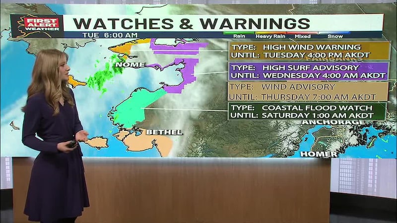
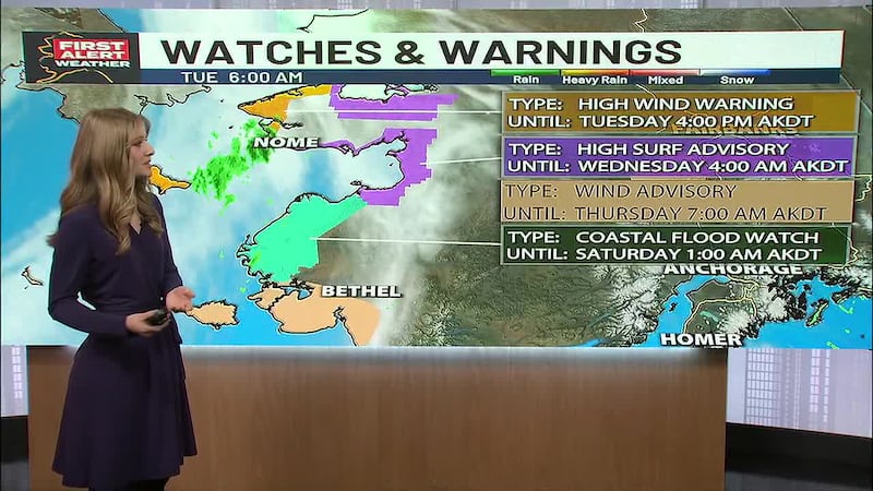
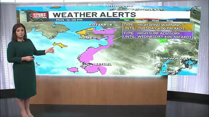
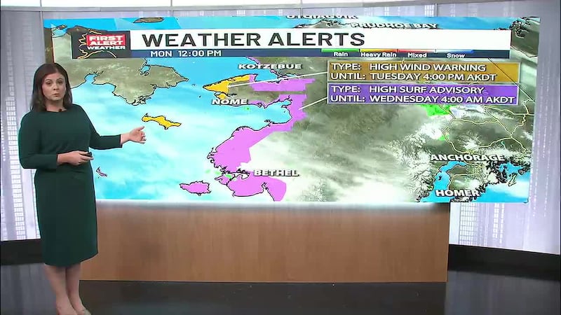
Western Alaska will see partly sunny skies from Nome to Kotzebue, with mostly cloudy to partly sunny skies remaining in Bethel and Dillingham. Western Alaska will catch its breath from rain/snow and overcast ceilings today, but the next storm will hit Southwest Alaska by Saturday afternoon, bringing yet another round of snowfall and rain, along with wind gusts up to 50 mph.
Across the Aleutian Chain, you’re the impact zone as Adak braces for heavy rainfall today as the storm first reaches islands to the west. Adak and Atka will likely see over an inch of rain today, and into the overnight hours, winds will pick up to 50 and 70s mph through the island chain. This storm will span to the Alaska Peninsula by tonight and into Saturday morning, where similar storm impacts will follow.
Copyright 2026 Alaska's News Source. All rights reserved.