Freezing high temperatures return to Southcentral as storms continue in Southeast
High temperatures return to freezing across Southcentral with a series of storms sticking around in Southeast
ANCHORAGE, AK (Alaska’s News Source) - Cooler temperatures have been in the forecast for Southcentral and the Interior all week long, and it’s finally here heading into the weekend. While temperatures won’t change too much in Southeast, your series of storms will weaken slightly into the weekend, before the rain and winds pick back up next week.
In Southcentral, Friday is shaping up to be a pleasant day with partly cloudy skies extending from Anchorage to the Matanuska-Susitna Valley and Kenai. Partly sunny to mostly cloudy skies are ahead for the eastern side of the Kenai Peninsula and Prince William Sound before showers return Saturday. High temperatures will sit in the mid to upper 30s for much of the region before dropping into the low 30s late into the weekend.
Download the free Alaska’s News Source Weather App.
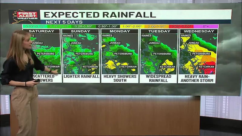
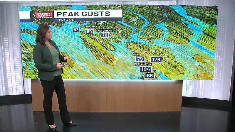
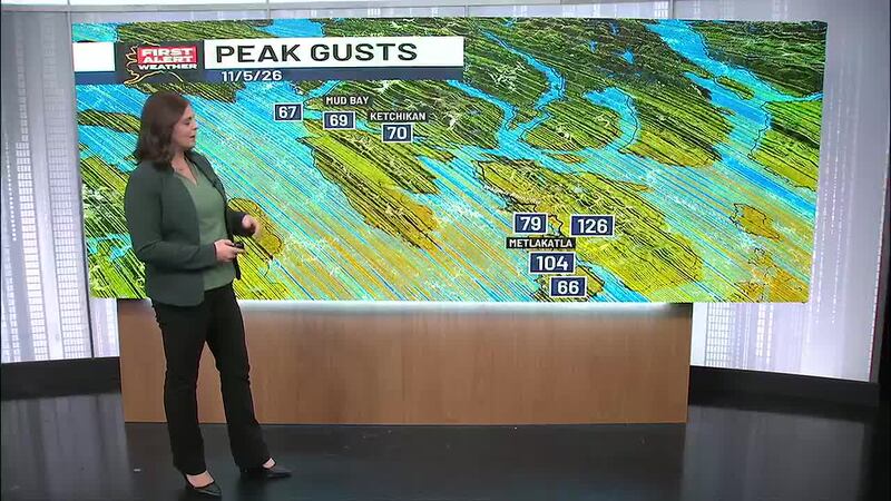
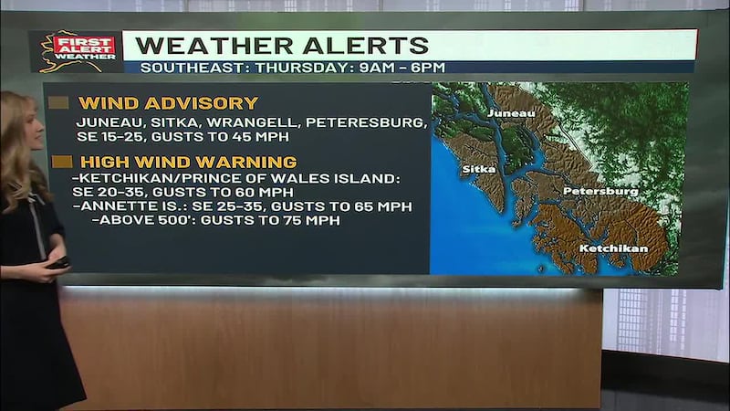
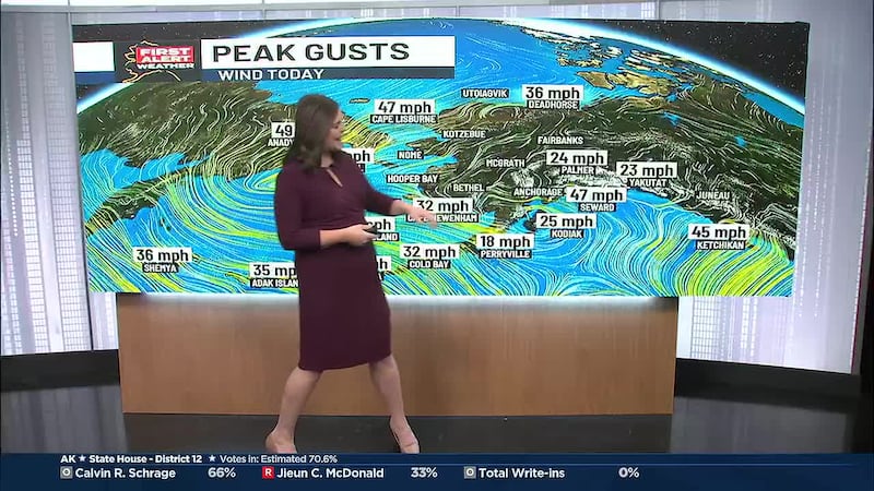
Now in Southeast, this series of storms isn’t quitting. More showers will continue through your Friday, with winds gusting up to 40 to 50 mph in Sitka, Juneau and Skagway through much of the morning. Winds are calming into the weekend, and so is rainfall, but the next storm ahead moves in Saturday afternoon, mostly affecting southern locations such as Ketchikan and Petersburg. While rain dies down in the central and northern locations, the storms aren’t over. We’re tracking more toward the end of the weekend and early next week.
Across the Interior, not only are temperatures dropping back down into the teens next week, but a chance of light snowfall is ahead for much of the region through the day today as well. Areas such as the Tanana Valley and the Copper River Basin will only see about a trace to two inches of snowfall through today, heading into Saturday. Areas including the Dalton Highway, White Mountains, and Bettles to Cold Foot will see about one to three inches of snowfall throughout the weekend. In Fairbanks, mostly cloudy skies will dominate your day with light snow late Friday and into Saturday morning.
Send us your weather photos and videos here!
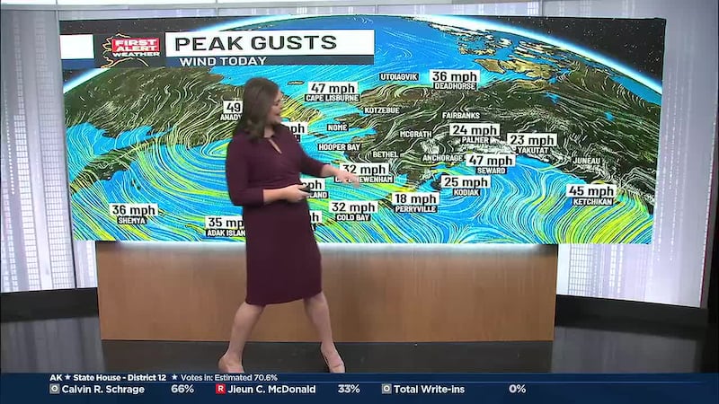
Along Western Alaska and the North Slope, mostly cloudy skies and calm conditions remain for you to close out the work week. Calm winds and temperatures in the upper 20s and low 30s will carry most of the Western region into the weekend, while Gambell and the Beaufort Coastline feel wind gusts up to 40 mph. The Aleutian Chain sit with partly sunny skies and a light drizzle, with temperatures in the upper 30s.
Copyright 2026 Alaska's News Source. All rights reserved.