First Alert Weather: Most hazardous weather of the weekend moves in overnight into Monday morning
Weather alerts are in effect across the Interior, Western Coast, Southwest, and Southeast for wintery conditions
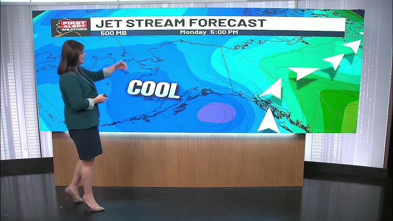
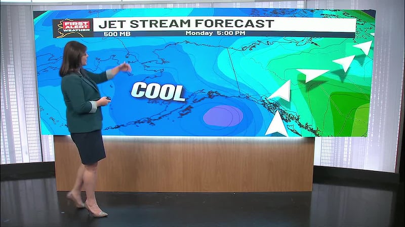
ANCHORAGE, AK (Alaska’s News Source) - The first of two winter storms is making the heaviest impacts across Southcentral overnight tonight and into Monday morning before the second storms moves through, bringing winter weather across the YK Delta, all the way to the Yukon Flats.
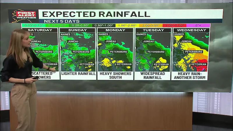
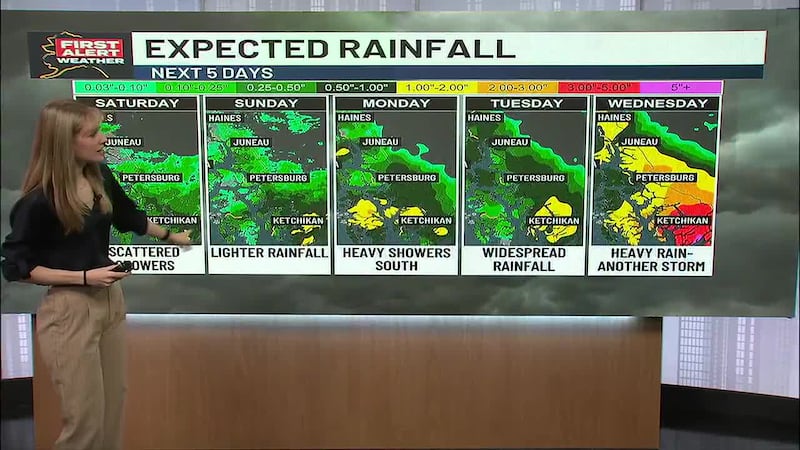
Southeast and Southcentral will face their heaviest rain in the overnight hours, leading to dangerous road conditions for Monday mornings commute. Due to these road hazards, a Winter Weather Advisory is in effect for Mat-Su into Anchorage until 6 a.m. Monday. Freezing rain will hit the Mat-Su Valley the hardest as nearly 0.2 inches of freezing rain is forecasted, paired with 1 to 3 inches of snow. Freezing rain will glaze over roads tonight before high temperatures tomorrow will rise above freezing, leading to a thawing and freezing pattern until Wednesday.
Download the free Alaska’s News Source Weather App.
Interior Alaska is now under a Winter Weather Advisory until 3 p.m. Wednesday. Impacted areas include: all of Central Interior, Yukon Flats, White Mountain, Healy, and areas from Healy to the Western Coast. For more specified areas, refer to Alaska’s News Source: Weather Alerts. These impacts regions will likely see 2 to 8 inches of snow fall over the course of 3 days. Heavier snow is anticipated in higher elevation regions, with wind gusts up to 40 miles per hour across the Interior. The biggest concern for this winter storm, which will hit Monday night into Tuesday, will be reduced visibility as a result of blowing snow as well as icy roads.
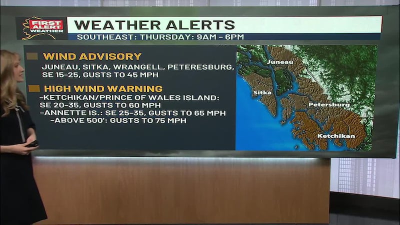
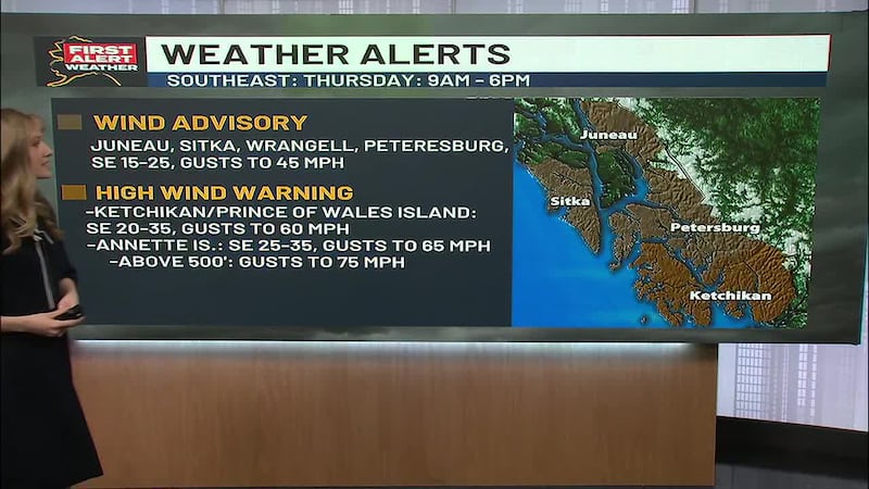
Southeast, as forementioned, will see the heaviest rain tonight and into Monday which will lead to slick and wet roads. Wind gusts will reach up to 25 miles per hour across the region with 2 to 4 inches of snow expected along the Klondike Highway until 3 a.m. Monday will remain wet as showers linger into Tuesday across the panhandle.
Western Alaska braces for the second of the two winter storms Monday night into Tuesday as an Ice Storm Warning is in effect until 9 a.m. Wednesday from Emmonak to Bethel to Nikolai. Two rounds of precipitation will add to icing danger with 1 to 3 inches of snow likely through tonight into Monday and again Monday night until Wednesday afternoon with an additional 3 to 7 inches of snow anticipated. Wind gusts up to 40 miles per hour will push along the Western Coastline with 0.1 to 0.2 inches of ice glaze painting the roads.
The Aleutians will see widespread rainfall from tonight through Monday with wind gusts as strong as 60 miles per hour. Gale Warnings have been issued across the Chain until Monday night as a winter storm moves through the islands. Temperatures will stay above freezing even in the overnight hours, with high temperatures reaching the low to mid 40s.
The North Slope will see 1 to 2 inches of snow across the region with wind remaining breezy at 15 miles per hour. Areas south of the Brooks Range are under a Special Weather Statement for moderate snowfall that will move in Tuesday night and Wednesday morning. Otherwise, temperatures in the Slope sit near 10 degree highs and single digit lows.
Copyright 2025 Alaska's News Source. All rights reserved.