Spring showers moving in: What to expect across Alaska this week
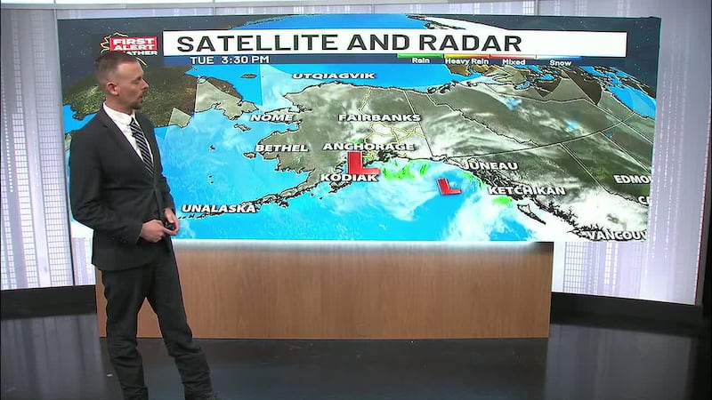
ANCHORAGE, AK (Alaska’s News Source) -Much of Alaska is about to trade its clear skies for a wet week ahead. After enjoying a beautiful stretch of weather with crystal clear skies and comfortable temperatures to start the week, a series of storms will push across the state starting Tuesday night, bringing rain and snow to multiple regions.
Send us your weather photos and videos here!
The Big Change: Showers Arrive Wednesday
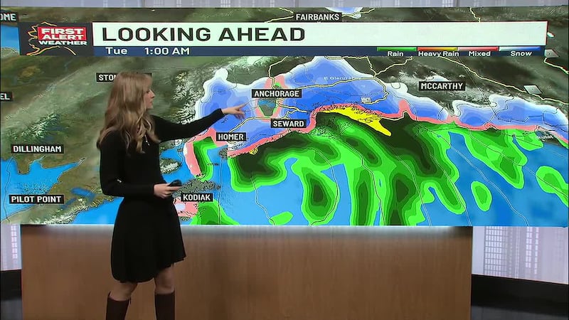
Western Alaska: Snow showers are already moving in across the Yukon Delta, Kuskokwim Delta, Bristol Bay, Alaska Peninsula, and Kodiak. Most of these regions will remain below freezing overnight, meaning snow is the primary precipitation type to start. Still, it will likely mix with rain by mid-afternoon before switching back to light snow overnight into Thursday.
Southcentral Alaska: Wednesday will bring showers developing across the Mat-Su and into Anchorage by midday. The Kenai Peninsula will see only a slight chance of light showers in the morning. Most of the moisture moves through by Wednesday evening, with scattered showers lingering Thursday and Friday, especially for the coastal areas.
Southeast Alaska: Yakutat will likely see showers early in the day, but Skagway and areas to the south won’t see precipitation until very late in the day — if at all.
Download the free Alaska’s News Source Weather App.
Pack Your Rain Gear
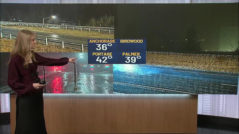
A combination of fresh rain and snow, combined with melting snow, will mean sloppy conditions for the next few days. Keep your rain boots and rain jackets handy for the next few days. Another significant weather system will push through Sunday into Monday, bringing another round of moisture.
What About The Next System?
The next storm is on track to move into Southcentral Sunday into Monday. This one has the potential to bring even more moisture with it than the last two storms that will have moved through, still fallins as a snow/rain mix.
The Bigger Picture: Unstable Pattern Ahead
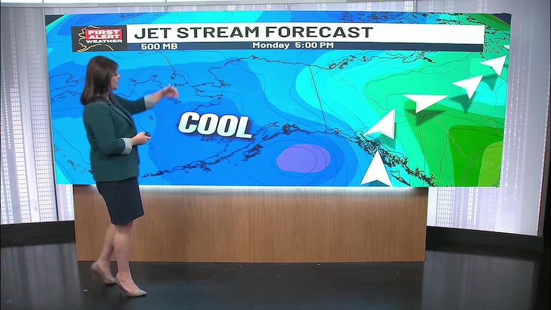
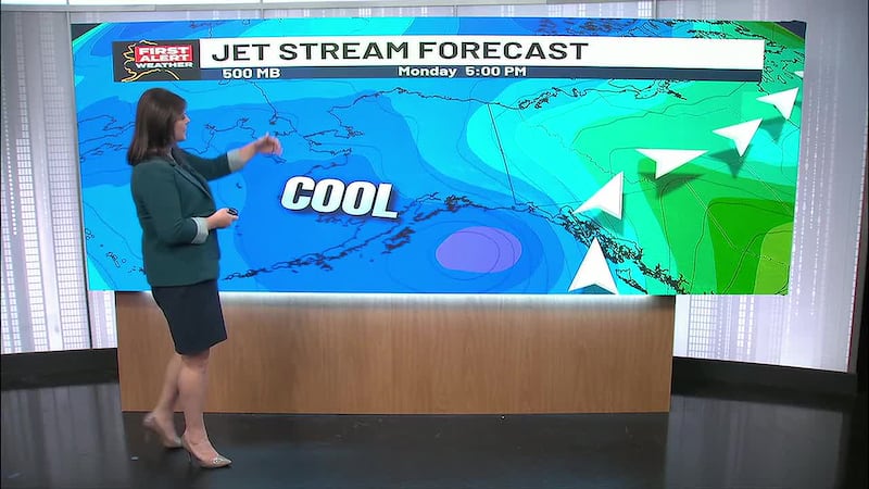
What’s driving all this activity? Upper-level atmospheric patterns show multiple troughs (deep dips in the jet stream) developing, which means the weather will change pretty quickly from one day to the next. This unstable pattern will continue throughout the week and into the weekend.
Temperature outlook: Don’t expect dramatic swings. Temperatures will remain relatively steady, still fluctuating from near freezing at night to above during the day.
Bottom Line
The theme for the next week: wetter and cloudier. After enjoying clear, pleasant conditions, Alaska’s weather is about to shift into a more active pattern. Multiple rounds of moisture will keep showers in the forecast through the weekend.
Stay with us for updates as this system approaches.
Copyright 2026 Alaska's News Source. All rights reserved.