Strong storm brings high winds, heavy snow, and rain across Alaska
First Alert: Significant weather expected Saturday into Sunday
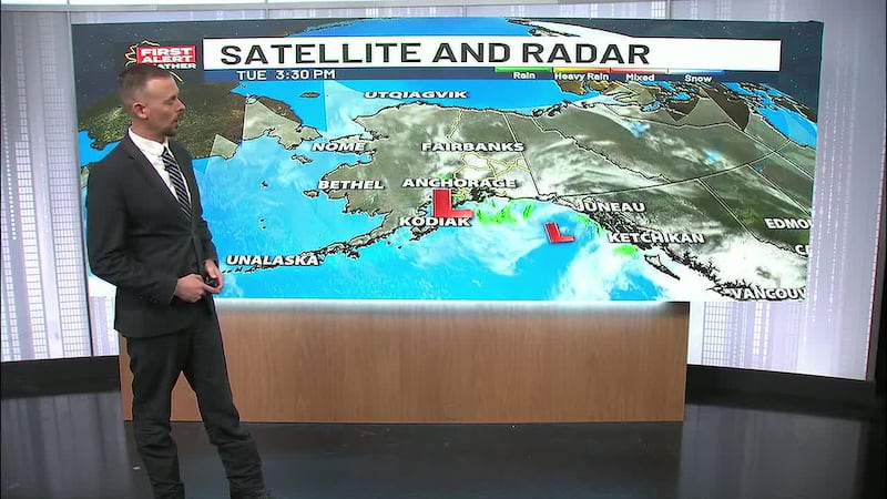
ANCHORAGE, AK (Alaska’s News Source) - A powerful storm system is moving from west to east across Alaska, bringing dangerous winds, heavy snow, and significant rainfall to multiple regions across the state. The system will first impact Western Alaska on Saturday, then will push into Southcentral, the Interior, and Southeast on Sunday morning.
Timeline and Regional Impacts
Saturday: Winter Storm Warnings, Advisories and Watches are in effect across Western Alaska where the brunt of the storm’s initial impact will hit. The system will bring 3 to 8 inches of snow along the Yukon Delta and Kuskokwim Delta coasts, along with wind gusts reaching 45 mph. Snow and wind will also impact the Norton Sound region Saturday night into Sunday.
The Aleutians could experience gusts of 60 to 70 mph, while the Bering Strait region and the entire West Coast will see strong winds Saturday night into Sunday. The Pribilof Islands will also experience significant wind impacts.
Southcentral will see a quick break before this storm arrives, with partly sunny skies Saturday.
Temperatures will remain relatively mild overnight Friday into Saturday. However, communities like Nome, Kotzebue, and the North Slope will experience subzero temperatures.
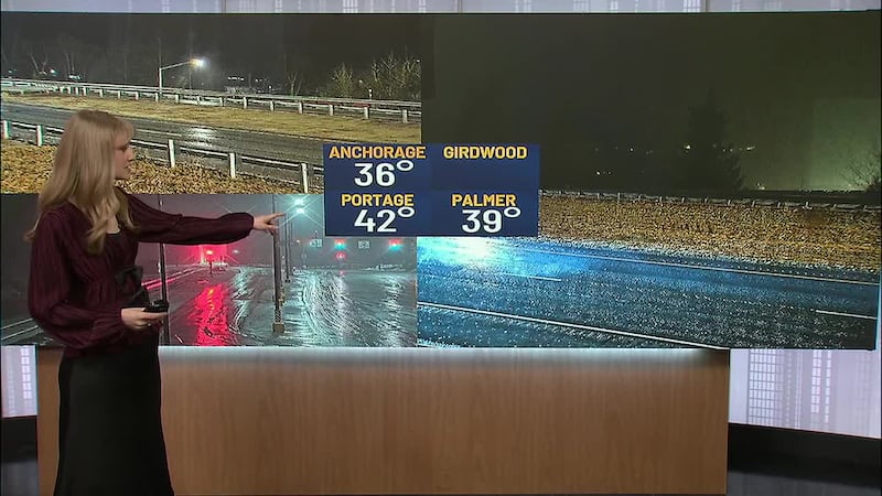
Saturday highs will reach the low 40s in Anchorage, upper 30s in Fairbanks, and mid-40s in Southeast Alaska.
Download the free Alaska’s News Source Weather App.
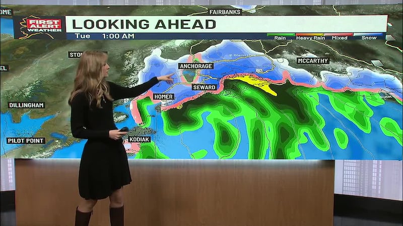
Sunday Morning: The system will arrive in Southcentral early Sunday morning, with a rain/snow mix continuing through the afternoon and evening. In addition to the rainfall, Anchorage can expect wind gusts up to 40 mph, with similar gusts near Nikiski along the coastline and the western Kenai Peninsula.
The Interior will see snow and rain mixing in and out throughout the weekend.
Copyright 2026 Alaska's News Source. All rights reserved.