First official freeze heading to Anchorage, with widespread rain for Southeast this weekend
Temperatures across Southcentral will drop well into the 20s in some of the coldest spots.
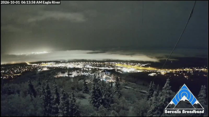
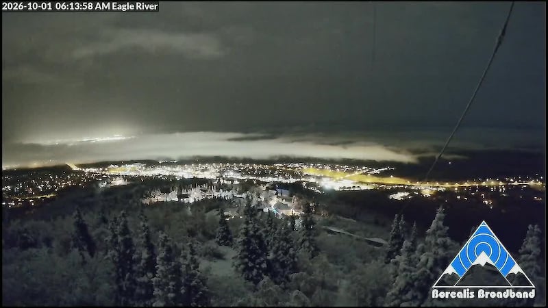
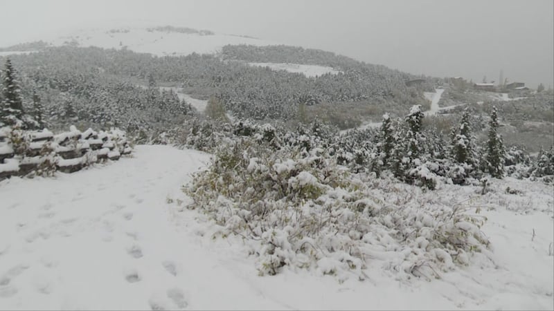
ANCHORAGE, AK (Alaska’s News Source) - Light snow accumulation marked the first official snowfall for Anchorage, although it was just a trace amount. Higher elevations continue to hold onto snow cover on the ground, as temperatures statewide are remaining fairly chilly.
The October chill will carry us into the weekend, although temperatures will bump up for many areas into next week.
SOUTHCENTRAL:
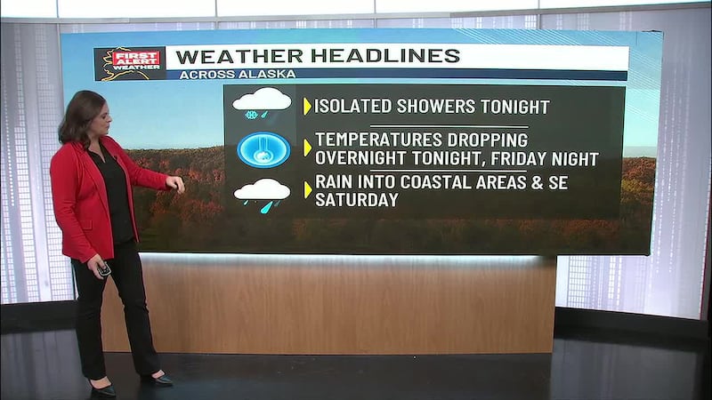
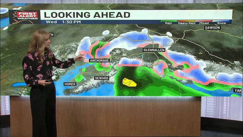
It’s only a matter of time before we hit the first official freeze in Anchorage, and it looks very likely tonight into Friday. While cloudy skies and a rain/snow mix has been with us for the first half of the day, things are dying down.
We’ll continue to hold onto fairly dry conditions through the night, with clearing skies leading to overnight lows dropping into the 20s and 30s. Some of the coldest spots Friday morning will likely be East Anchorage, Soldotna, Copper River Basin and areas of the Susitna Valley.
We’ll hold onto the chilly conditions into the weekend and then temperatures bump up a few degrees next week back into the upper 40s and possibly lower 50s. Active weather looks to also return next week. although most of what we’ll see will stay confined to coastal areas.
SOUTHEAST:
A second release from Suicide Basin is underway, with a flood warning in effect for the Mendenhall River near Auke Bay. The river is expected to crest around 10 feet between the hours of 5 a.m. and 9 a.m. Friday, which is right at moderate flood stage. Ongoing rain could lead to a slightly higher crest, if heavier rain moves into Southeast.
We are watching a storm over the weekend and into early next week that will drive heavy rain and gusty winds into the region. The heaviest rain with this weekend storm looks to primarily take aim on the Northern and Central Panhandle, with areas to the south see some dry time. More rain and active weather will stick around well into next week. Daily highs will warm into the 40s and 50s, with overnight lows in the 40s.
INTERIOR:
Light snow showers moving through the Interior overnight into today led to some accumulation, with additional light amounts for areas of the Eastern Alaska Range. Much drier weather looks to return into Friday and Saturday, with some sunshine breaks looking possible.
With some clear skies heading into the Interior, we will see a fairly cold morning through at least Saturday morning. Overnight lows will easily drop into the teens in some of the coldest spots. We’ll see a slight bump in temperatures over the weekend as we head back into the 40s, with a chance we could see some light wintry mix early next week.
NORTH SLOPE/WESTERN ALASKA:
Snowfall chances are winding down across the North Slope, but we will keep with some light activity for areas along and east of the Dalton Highway. We could see up to three additional inches in those areas. Breezy winds will remain with the North Slope through the first part of the weekend, meaning that areas of blowing snow will be a concern over the next few days. While we can’t rule out some light areas of rain and snow Friday and Saturday for areas of Northwest Alaska, most locations will stay dry. We’ll hold onto a fairly cold weather pattern with afternoon highs in the 20s and overnight lows in the teens and 20s.
Good news for Western Alaska, as winds are steadily dying down across the region. While winds have been gusting as high as 45 mph, winds should die down below 20 mph into the weekend. Some light areas of snow will be possible near Kotzebue Sound tonight, with a transition to rain/snow Friday into Saturday. Any accumulation will remain fairly light. While much quieter weather builds into many areas of Western Alaska next week, we will see rainfall/snow chances remaining for areas of Southwest Alaska.
ALEUTIANS:
While showers and breezy winds remain with areas of the Aleutians into the weekend, it really won’t be until next week that we get a stronger storm building into the Aleutians that could drive in some gusty winds and heavy rain. The Aleutians looks to be one of the more warmer spots across the state, as highs stay in the 40s and 50s.
OUTLOOK AHEAD:
Despite the October chill that has settled into the state, temperatures look to warm a few degrees over the weekend and into next week. Some of the greatest warming looks to be for Southeast, Southcentral and north towards the Interior. Active weather looks to remain for the Bering Sea and the Gulf of Alaska.
Download the free Alaska’s News Source Weather App.
Copyright 2026 Alaska's News Source. All rights reserved.