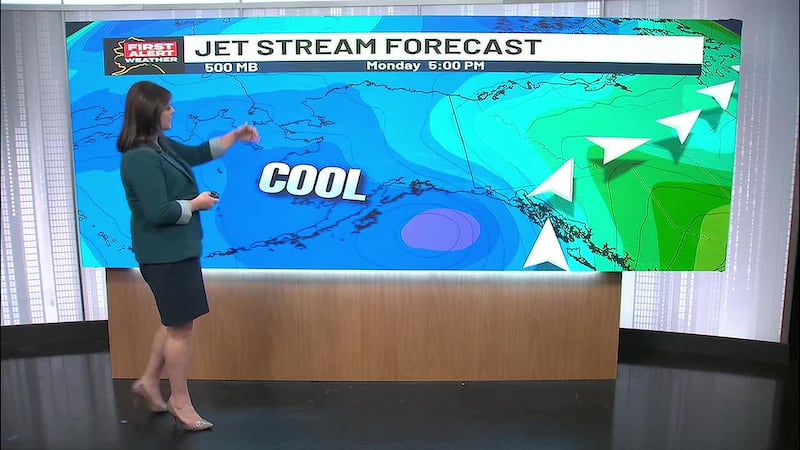
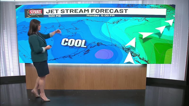
High pressure will keep cold and dry air in place across the state, with ongoing snow showers for Southeast
Up to 5 inches of additonal snow will fall through Southeast, with locally heavier amounts into Wednesday
ANCHORAGE, AK (Alaska’s News Source) - While many areas of the state continue to lock into the deep freeze, ongoing snow showers remain with the Gulf of Alaska and Southeast. Outside of these snow showers, most of the state remains cold, dry and sunny for the foreseeable future.
SOUTHCENTRAL:
Temperatures as low as -20 degrees gripped Southcentral this morning, as temperatures remain 10–20 degrees below average. Ongoing cold weather will stay with us through the week, although a slow warming trend will lead to highs climbing 10 degrees by week’s end.
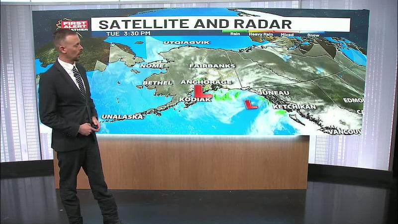
While plenty of sunshine remains in the forecast, it will be another day of breezy winds across Southcentral. A persistent low in the Gulf of Alaska and a surface high settling into the Interior are leading to a tight pressure gradient. This will lead to gusty winds for areas along and south of the coastal mountains across Southcentral. Winds of 20–45 mph will be possible, even for inland areas throughout the day. We’ll want to watch the winds in the Mat-Su Valley to see how they fare through the day. The current setup is favorable for wind development in the valley, so gusty conditions will be possible.
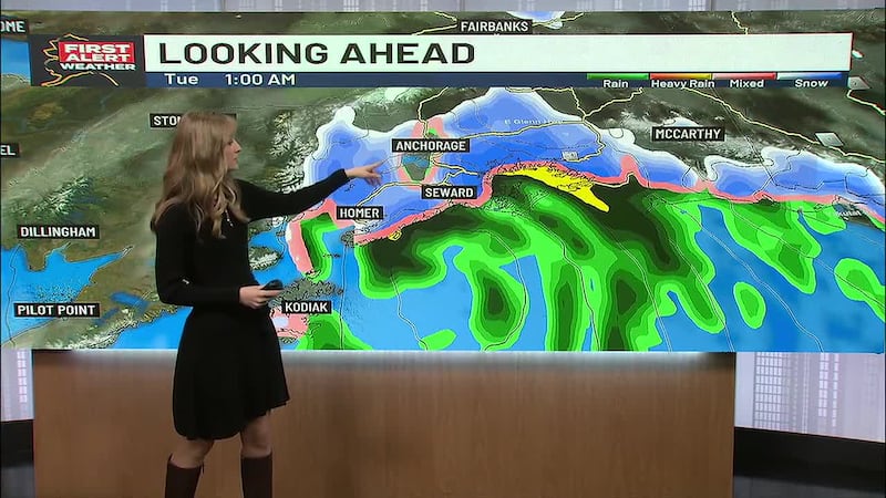
While we stay on the dry side the rest of this week, coastal areas including Kodiak, could see some light snow showers. This comes as our area of low pressure remains in the Gulf of Alaska for the next few days. Most of the snow will remain over the open waters of the Gulf and through Southeast.
SOUTHEAST:
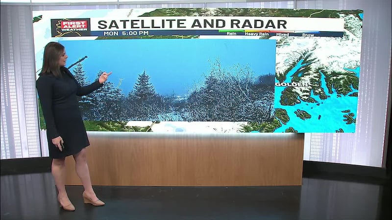
Persistent snow showers have been with Southeast the last few days, with more snow likely throughout your Tuesday. While snow showers are steadily dying down, it won’t be until Wednesday evening/Thursday morning for most areas to see drier weather returning. In locations where snow will remain with us, an additional 5+ inches of snow will be possible.
As the snow tapers off, the latter half of the week will lead to cooler weather. Highs will drop into the low to mid 20s, while overnight lows potentially drop into the single digits. We could still see some lingering snow showers for areas of the Southern Panhandle, but largely expecting dry conditions until next week.
INTERIOR:
Bitter cold weather continues to grip the Interior, as some of the coldest conditions across the state remain in this region. Overnight lows will bottom out anywhere from -30 to -40 degrees and possibly even colder in some spots. While afternoon highs will warm considerably, it will still be in the -15 to -5 degree range for many areas.
A slow warming trend looks to arrive by week’s end. While still cold and below seasonal values, highs look to climb back into the single digits above zero in the latter half of this week, while overnight lows drop anywhere from -20 to -25 degrees.
SLOPE/WESTERN ALASKA:
Wind chills as cold as -55 degrees have been seen across the Slope this morning, as blizzard conditions remain for areas along and east of the Dalton highway. We’ll continue to hold onto lower visibility in these areas, with an overall cooler weather pattern staying locked in place across the Slope.
While ongoing cold weather is also with areas of Western Alaska, we are seeing some gusty conditions. These winds are primarily impacting areas from Kotzebue Sound, south towards the Seward Peninsula. These winds will continue to gust upwards of 30–35 mph, keeping bitter cold wind chills in place. While things have been dry, some light snow moves in from the northwest Wednesday into Thursday, with a slight rise in temperatures expected.
ALEUTIANS:
Far western reaches of the Aleutians remain centered under the ridge. While it is quiet, cloud cover is still with these locations. We’ll see temperatures about 10+ degrees warmer for areas along and west of Adak. Meanwhile, the rest of the Aleutians will continue to hold onto passing snow showers, breezy winds and colder weather. Highs for the Central and Eastern Aleutians will remain in the 10s and 20s.
AVALANCHE WEATHER:
Turnagain Pass: Moderate avalanche danger at all elevations. Dry loose avalanches may be growing larger during these clear and cold conditions.
Summit Lake: Moderate avalanche danger above 1,000.’ It should be easy for a person to trigger a dry loose avalanche on steep slopes.
Seward and Lost Lake: Moderate avalanche danger above 1,000.’ It should be easy for a person to trigger a dry loose avalanche on steep slopes.
OUTLOOK AHEAD:
Ongoing cold, dry and sunny weather will remain in many areas of the state. While the Gulf of Alaska will see activity subside some into the latter half of this week, more snow showers will return into next week. Most of the state, though, will continue to hold onto temperatures remaining well below average.
Download the free Alaska’s News Source Weather App.
Copyright 2026 Alaska's News Source. All rights reserved.