The official first snow and freeze have kicked off October with sunshine to close the week
Sunny skies will stretch across much of the state before the next storm makes landfall into the weekend
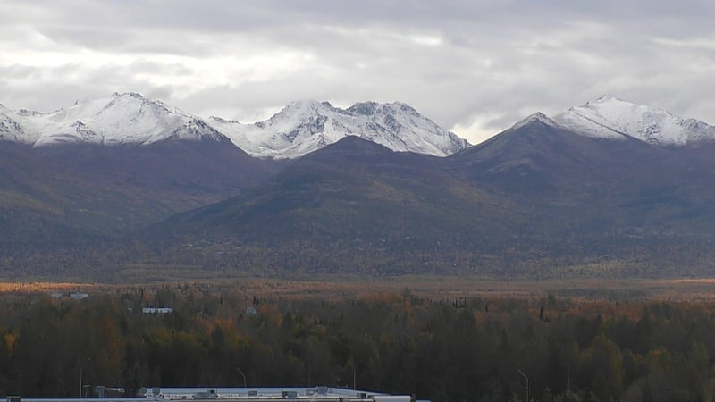
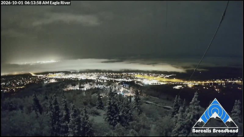
ANCHORAGE, AK (Alaska’s News Source) - After scattered snow in Fairbanks and Anchorage Thursday morning, each locations received their first official measurable snowfall of the season with both cities recording 0.1 inches of snow. With a glimpse of winter weather at the start of October, sunshine is closing out the week for many Alaskans.
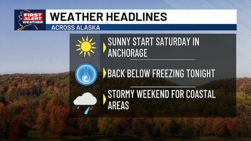
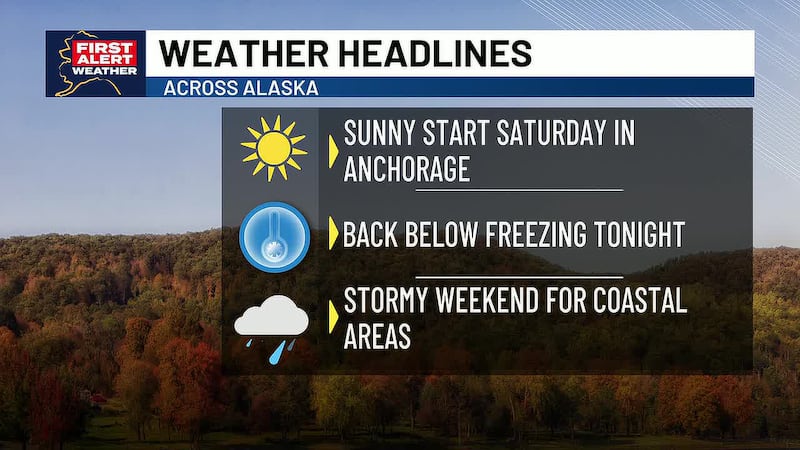
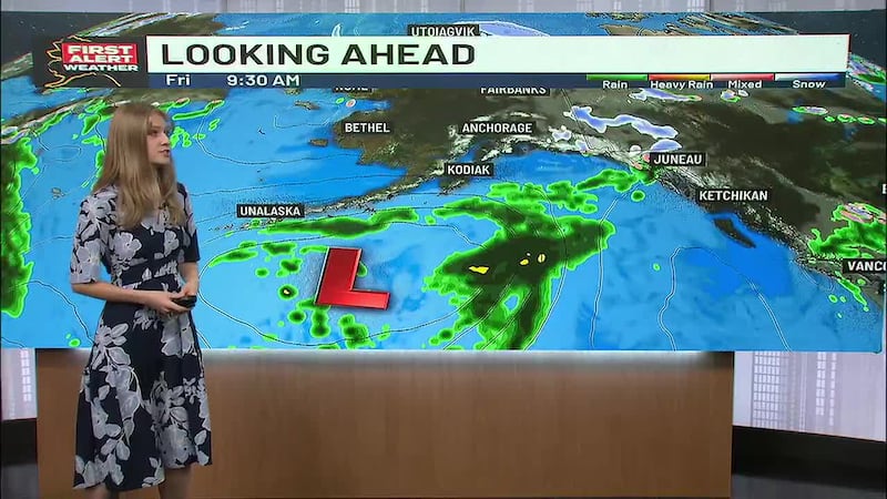
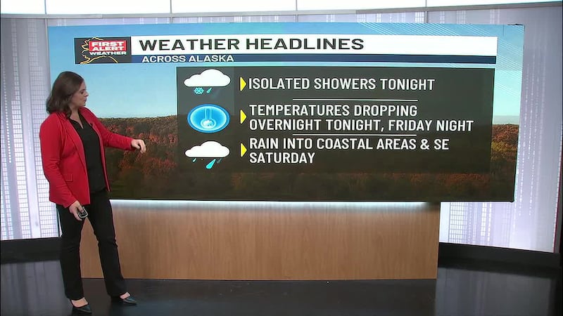
In Anchorage, the first official freeze has also been recorded as of late Thursday, October 1. Another round of such chilly lows will roll through overnight across Southcentral with the coldest temperatures likely in East Anchorage, Soldotna, Copper River Basin and areas of the Susitna Valley. Sunny skies are in store for every location on Southcentral, with clear skies overnight contributing to cooler temperatures Saturday morning. Rain and snow will return late Saturday for Anchorage and the Mat-Su, while locations on the eastern side of the Kenai Peninsula will see rainfall as early as late Friday night into Saturday morning.
Download the free Alaska’s News Source Weather App.
Southeast is the rainiest spot in the state as more scattered showers stretch through Yakutat to Sitka. Petersburg and Ketchikan will enjoy a bit of sunshine before another round of heavy rain encompasses the whole region late Friday into Saturday morning. This storm will bring heavy rain through the entire weekend as winds are expected to pick up Saturday. As a result of prolonged rainfall in Juneau, the Mendenhall River and Lake are under a Flood Warning until Saturday morning with Suicide Basin reaching a crest of 10.18 early this morning. Water levels are actively dropping and flooding has dropped from Moderate to Minor.
Send us your weather photos and videos here!
Interior Alaska is in store for sunny skies to close out your work week and last through the weekend. While the morning is off to a cloudy start, high pressure to the west will influence clearing skies as the day progresses. The next round of snow is ahead for you Sunday evening into Monday morning with high temperatures in the 30s for your Friday.
Southwest Alaska will also reap the benefits of high pressure with sunny skies from the Western Interior to the Kuskokwim Delta for your Friday. Highs are expected in the 30s from Dillingham to Kotzebue, but further north cloudy skies and snow are ahead. Kotzebue and the Northwest Arctic Coastline will see scattered snow through the day but cloudy and dry conditions will close out the week in the Seward Peninsula and St. Lawrence Island. Similar cloudy skies are overhead in the North Slope with cold air keeping your highs and lows in the 20s. Light snow is possible, especially in Deadhorse.
The Aleutian sits a bit warmer in the upper 40s to low 50s with cloudy skies in store. Partly sunny to partly cloudy skies will lead you into the weekend with scattered rain in Unalaska.
Copyright 2026 Alaska's News Source. All rights reserved.