Anchorage sees first freeze of season, with active weather for Gulf of Alaska this weekend
The official low at Ted Stevens International Airport bottomed out at 30 degrees
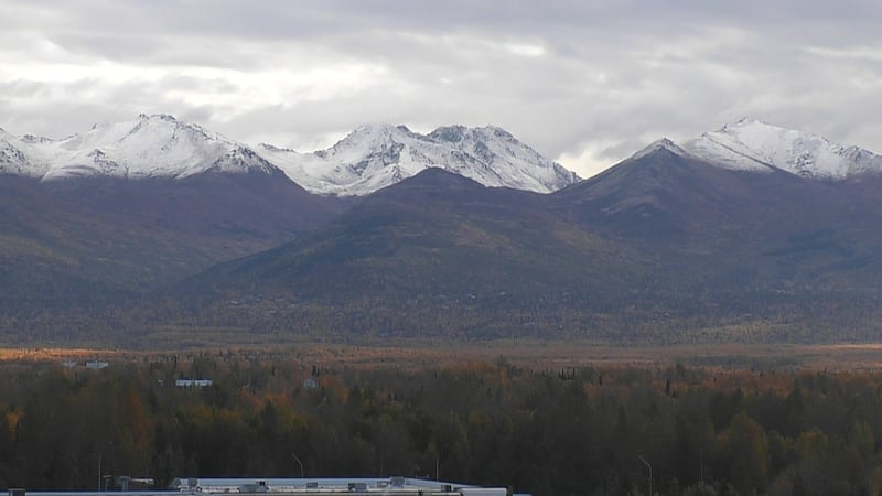
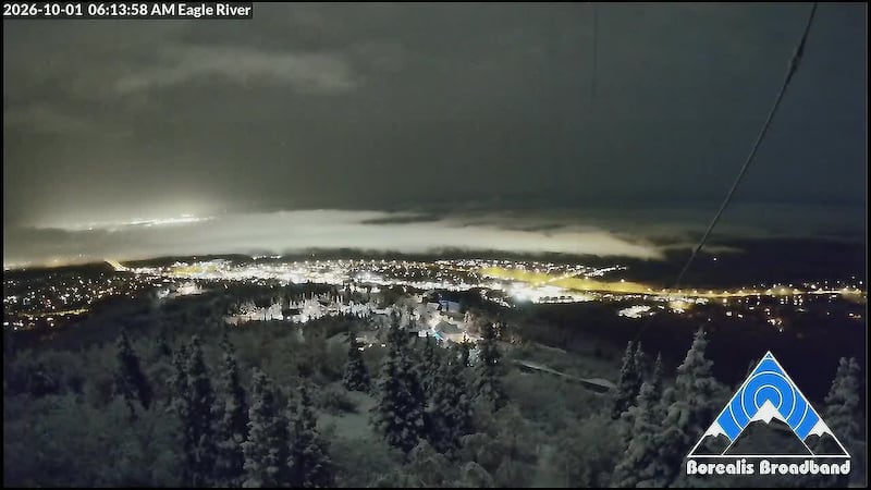
ANCHORAGE, AK (Alaska’s News Source) - The first official snow and freeze for Anchorage both occurred on the same day. Looking through records at Ted Stevens, this has only occurred on 3 other years in recorded history, with those years being 1981, 2012, and 2022. While not snow is in the forecast over the next week for Anchorage, we still have a shot to hit the freezing mark over the weekend.
SOUTHCENTRAL:
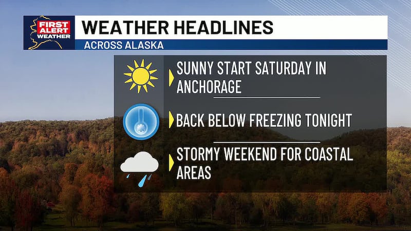
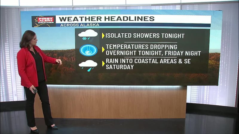
Crystal clear skies remain with Southcentral on this Friday, paving the way for another fairly chilly night as we welcome in the weekend. While we officially hit freezing late last night and this morning, another chance will be possible into Saturday morning. However, breezy winds out of the north picking up through the night could limit just how cold we get acorss parts of Anchorage. However, it will still be a fairly chilly start to the weekend.
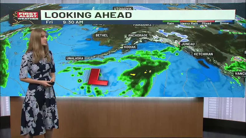
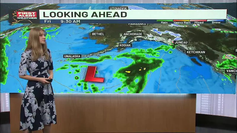
Hopefully you’ve enjoyed some of the sunny weather, as clouds are set to build back in for the weekend, ahead of our next storm building into the Gulf of Alaska. While most of the impacts will be for Southeast, areas along and east of the Eastern Kenai Peninsula can expect to see some heavy rain and gusty winds through the weekend. While inland areas do manage to stay on the drier side for most of Saturday, we will begin to see some light rain showers moving north late Saturday and into Sunday. While all rain is expected at lower elevations, more snow will be possible in higher elevations. Despite the cloudier and wetter weather we’ll see, temperatures will slowly bump back up near 50 into next week.
SOUTHEAST:
While rain showers have been with many areas of Southeast this week, the rain hasn’t been overly heavy. That is set to change into the weekend, as the next storm builds into the Gulf of Alaska later today and into the weekend. The strong system will drive a weak atmospheric river into Southeast, bringing in gusty winds and moderate to heavy rainfall. The heaviest rain looks to fixate on the Central Panhandle, although everyone will see some heavy rain from this system.
Upwards of 3 inches of rain can be expected over the weekend, with 5 inches possible in some of the higher elevations. While flooding doesn’t look likely, we will see a quick rise in smaller creeks and streams. Stay alert though if you live near bodies of water. More rain looks likely as we head through most of next week, with highs in the 40s and 50s.
INTERIOR:
We’ll see skies clear through the night for many areas of the Interior, with the potential that tomorrow morning could see the coldest air of the season. Many locations are still on track for overnight lows to bottom out in the 10s and 20s. While we stay dry for the first part of the weekend, we will begin to see areas of snow, if not a rain/snow mix for areas south and east of Fairbanks. Some light activity will be possible near Fairbanks, but the better chances will remain to the east. Like we typically see, we will hold onto the best snowfall accumulation in the Eastern Alaska Range. Outside of the chance for precipitation, no other impacts looks likely for the Interior. Winds could become breezy for higher terrain, but max winds should remain below 35 mph.
SLOPE/WESTERN ALASKA:
Light snow is still with areas east of the Dalton Highway this evening, although drier conditions are moving in from the west. As drier and colder weather moves in, many areas will see some of the coldest conditions so far this season. We’ll see overnight lows drop into the single digits, some areas could even drop below zero. Through the Brooks Range, we’ll see the best chance for snow in western parts of the range, where a few inches will be possible into Sunday. With increasing winds into early next week, we could see some localized areas of blowing snow.
Western Alaska is continuing to hold onto fairly quiet, yet chilly weather. Locations near Kotzebue Sound will continue to hold onto a rain/snow mix through Saturday morning, with locations through Noatak Valley holding onto light snowfall accumulation. While much of the weekend remains fairly quiet, we will see some breezy winds increasing into Sunday, with gusts of 30 to 45 mph looking possible through the Western Interior and for locations along the Strait.
ALEUTIANS:
Active weather looks to remain for the Aleutians, as a train of lows sweeps east through the region. This will keep rain showers and gusty winds around for the foreseeable future. While an overall active weather pattern does remain, there will be some brief quiet time before each new low moves through. We’ll continue to hold onto highs in the 40s and 50s over the next 1 to 2 weeks.
OUTLOOK AHEAD:
While cold weather looks to heavily favor Western Alaska over the next 1 to 2 weeks, we will see a return to some warmer weather across Southeast, Southcentral the Interior and araes of the Eastern Arctic Coast. This comes at a time when impacts from El Nino tend to slowly start showing up in the Last Frontier, which does contribute to some warmer winters. While warmer weather is expected, it will still be chilly for some as it is October. Across Southcentral we’re expecting highs to climb back into the upper 40s and lower 50s, while the Interior warms back into the 40s.
Download the free Alaska’s News Source Weather App.
Copyright 2026 Alaska's News Source. All rights reserved.